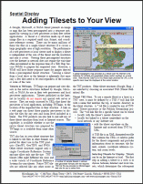
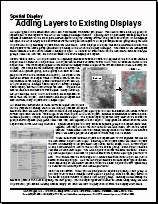
Adding Layers
Technical Guides & other documentation
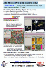
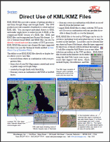
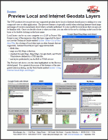
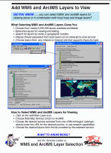
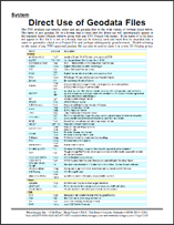
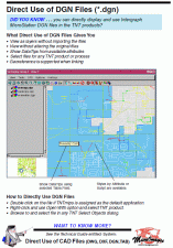
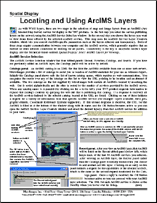
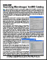
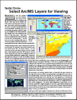
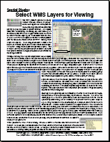
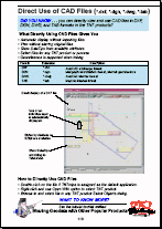
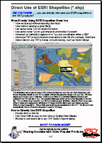
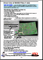
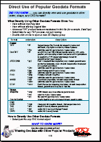
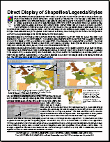
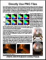
There are numerous types of geospatial data layers you can display in the TNTmips View window. You can directly display numerous geospatial data including: GeoTIFF, JPEG2000, MrSID, PNG, shape, LAS, DGN, TAB, DWG. Add web layers including tilesets and WMS / ArcIMS layers. Of course you can add layers raster, vector, CAD and TIN data in MicroImages' RVC format too.